
Biotope Mapping Eisenwurzen Nature Park
Associated persons Hanns Kirchmeir
Clients Steirische Eisenwurzen Nature Park
Year 2012
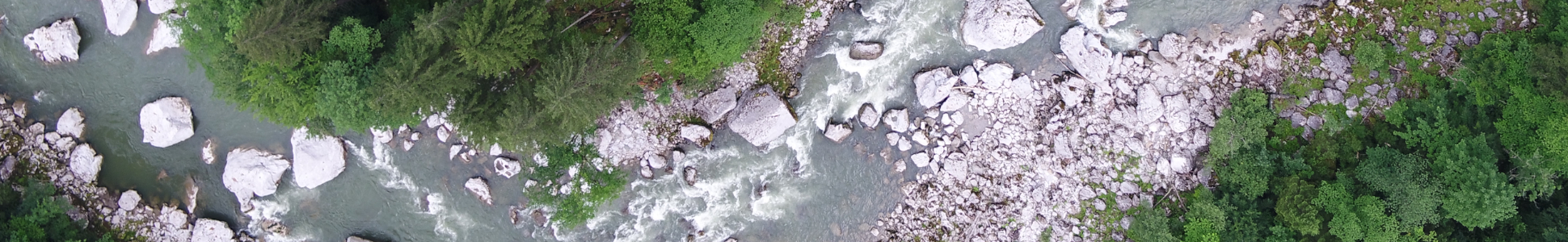
Biotope mapping of selected areas has taken place in 7 communities of the Steirische Eisenwurzen Nature Park in accordance with the mapping guidelines of the province of Styria. Areas of open land, their forest biotopes (field woodlands, forest islands) and all flowing water in the area have been mapped. Repeated use has been made of the “Digster” technology developed by E.C.O., a process for fully digitised, mobile land surveys which combines state of the art IT with “classic” methods of vegetation ecology. The data is compiled in the GIS and entered into the biotope database of the province of Styria. The results of the mapping will be supplemented by recommendations on the next nature conservation measures to be taken.